The majority of the island’s population is made up of people of Indian origin. The rest of the population are Creoles, Francophones, Chinese, Europeans and Anglophones. Although the English and Anglophones are a minority in this population, English is the official language of the republic. And despite this, more than half of the residents of Mauritius speak Mauritian Creole. In addition, a part of the population speaks French and another Anglo-Mauritian.
Climate of Mauritius
We observe two main seasons in Mauritius: the southern summer, characterized by humidity and heat that begins in November and lasts until April. It is in this period when any cyclone can devastate a large part of the island and various precipitations can occur. Temperatures during this season are around 26°C to 32°C. However, from June to September it is a winter with a slight cold much appreciated by the inhabitants, although at night the temperatures are much lower; On average, these range between 20 and 26 degrees Celsius. In addition, the sea temperature ranges between 26 and 29 degrees Celsius in summer and reaches 20 and 26 degrees Celsius in winter. At bro climaxes where the elevation is about 600 meters, ambient temperatures are particularly low throughout the year, ranging between 5 and 3 degrees Celsius. The islands of the Indian Ocean are obviously dominated by the Alizé winds. Rains and winds are much more common in the eastern regions than in the south.
Geography and population
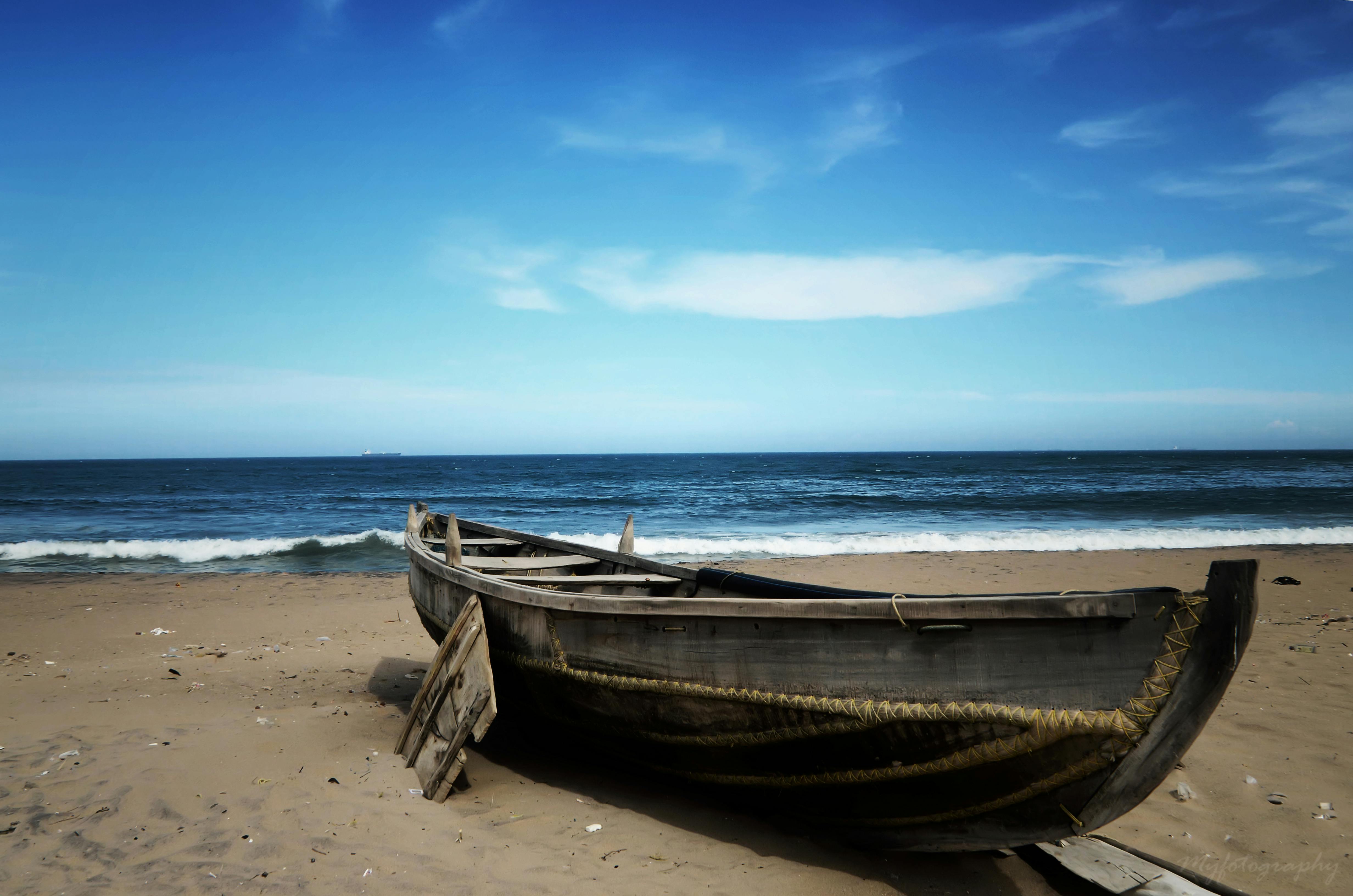
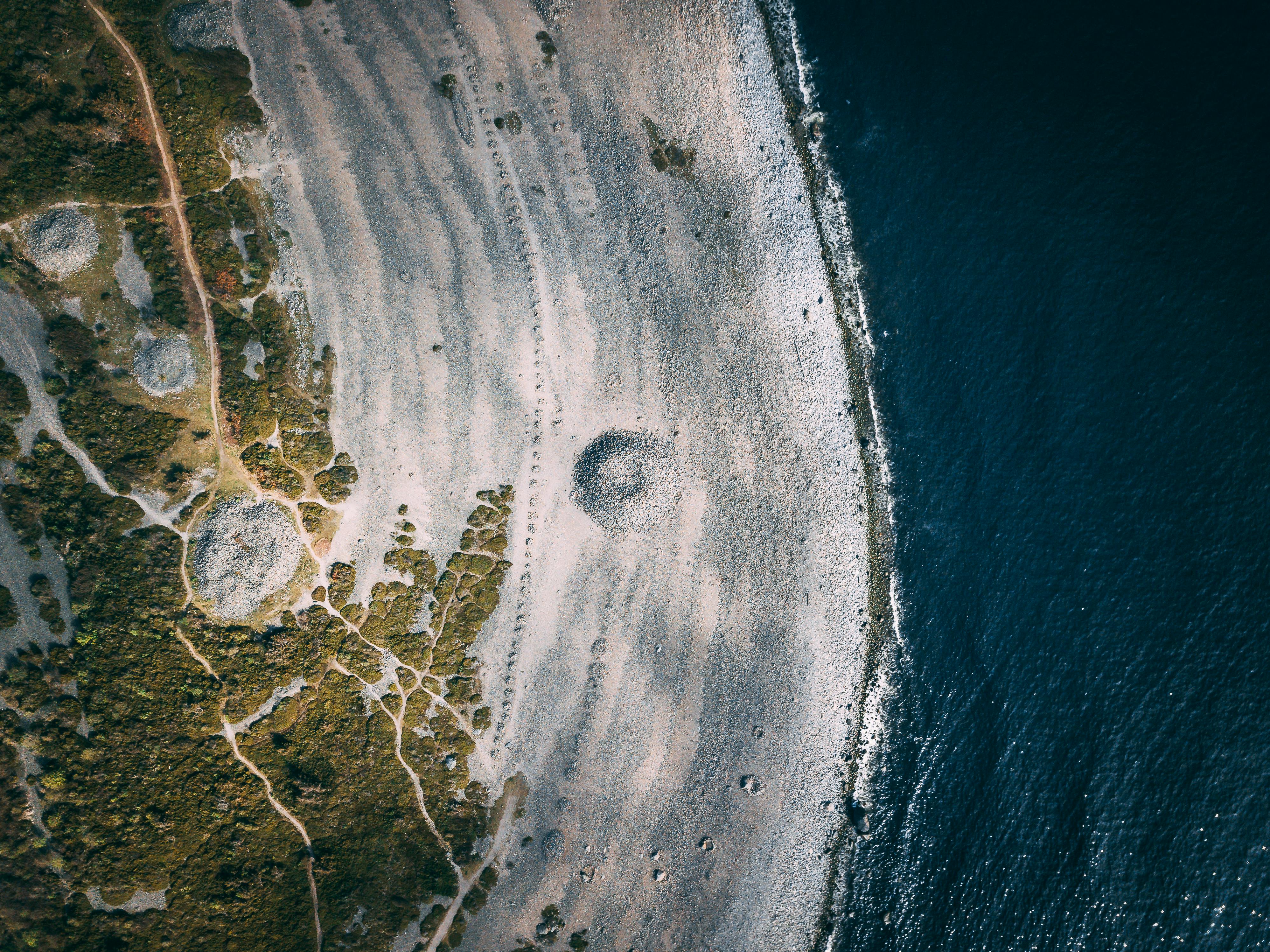
This small island in the Indian Ocean is 65 kilometers long from north to south and 45 km from east to west, making it an area of 2,040 square kilometers. The coast of Mauritius stretches for 330 kilometers and we can find a line of coral around the island taking a fantastic form of barriers. Mauritius is located 900 kilometers east of Madagascar, about 2,000 kilometers from the east coast of the African continent. Mauritius is also one of the islands in the archipelago and the Mascarene Island of St. Brandon and Rodrigues and Agalega are also part of the Republic of Mauritius. The central highlands are characterized by the presence of massive Pieter Both, Thumb and Mocha climaxes with respective altitudes as the first two of 820 meters and 811 meters. El Pitón, which is located in the southeast, not far from the central mountains, has an altitude of 828 meters. It is the highest mountain on the island. The island also has magnificent volcanic craters, dormant for many years, including “Trou Aux Cerfs”. We note that most of the Mauritius plateau is slightly flat plates as you get closer to the coast. These variations are probably due to the relief that the island was previously a volcanic island. About three million years ago, underwater plate tectonics contributed to the formation of this enchanting island.
Most of the inhabitants of Mauritius are in the area from the capital to the wide Curepipe. The origins of the Mauritian people come from all over the world, we note that Mauritius adopts different cultures from various ethnic groups. In fact, the population is Indo-Mauritian, with a majority of Creoles, as well as white-Mauritians of European descent, the majority being Muslims and Hindus.
Economy
The economy of Mauritius is based on four main sectors: the Free Zones, the sugar industry being the main export of Mauritius, tourism and offshore. The latter, founded at the same time as the Republic of Mauritius, has mainly contributed to the Government of Mauritius to house the various affiliations and groups of the Ministry of Finance. Free zone companies that consist mainly of textile manufacturing on the island are, in general, from Eastern or European industries. Mauritius has made remarkable developments and increases in recent years, which has made the island a model and a reference in this field. The rapid economic growth shows evidence of an unprecedented turn in the history of a country.